Ice Planet Dynamics: Cores Provide First Documentation Of Rapid Antarctic Ice Loss In The Past
Researchers from the University of Cambridge and the British Antarctic Survey have uncovered the first direct evidence that the West Antarctic Ice Sheet shrunk suddenly and dramatically at the end of the Last Ice Age, around 8,000 years ago.
The evidence, contained within an ice core, shows that in one location the ice sheet thinned by 450 metres — that’s more than the height of the Empire State Building — in just under 200 years.
This is the first evidence anywhere in Antarctica for such a fast loss of ice. Scientists are worried that today’s rising temperatures might destabilize parts of the West Antarctic Ice Sheet in the future, potentially passing a tipping point and inducing a runaway collapse. The study, published in Nature Geoscience, sheds light on how quickly Antarctic ice could melt if temperatures continue to soar.
“We now have direct evidence that this ice sheet suffered rapid ice loss in the past,” said Professor Eric Wolff, senior author of the new study from Cambridge’s Department of Earth Sciences. “This scenario isn’t something that exists only in our model predictions and it could happen again if parts of this ice sheet become unstable.”
From west to east, the Antarctic ice sheets contain enough freshwater to raise global sea levels by around 57 metres. The West Antarctic Ice Sheet is considered particularly vulnerable because much of it sits on bedrock below sea level.
Model predictions suggest that a large part of the West Antarctic Ice Sheet could disappear in the next few centuries, causing sea levels to rise. Exactly when and how quickly the ice could be lost is, however, uncertain.
One way to train ice sheet models to make better predictions is to feed them with data on ice loss from periods of warming in Earth’s history. At the peak of the Last Ice Age 20,000 years ago, Antarctic ice covered a larger area than today. As our planet thawed and temperatures slowly climbed, the West Antarctic Ice Sheet contracted to more or less its current extent.
“We wanted to know what happened to the West Antarctic Ice Sheet at the end of the Last Ice Age, when temperatures on Earth were rising, albeit at a slower rate than current anthropogenic warming,” said Dr Isobel Rowell, study co-author from the British Antarctic Survey. “Using ice cores we can go back to that time and estimate the ice sheet’s thickness and extent.”
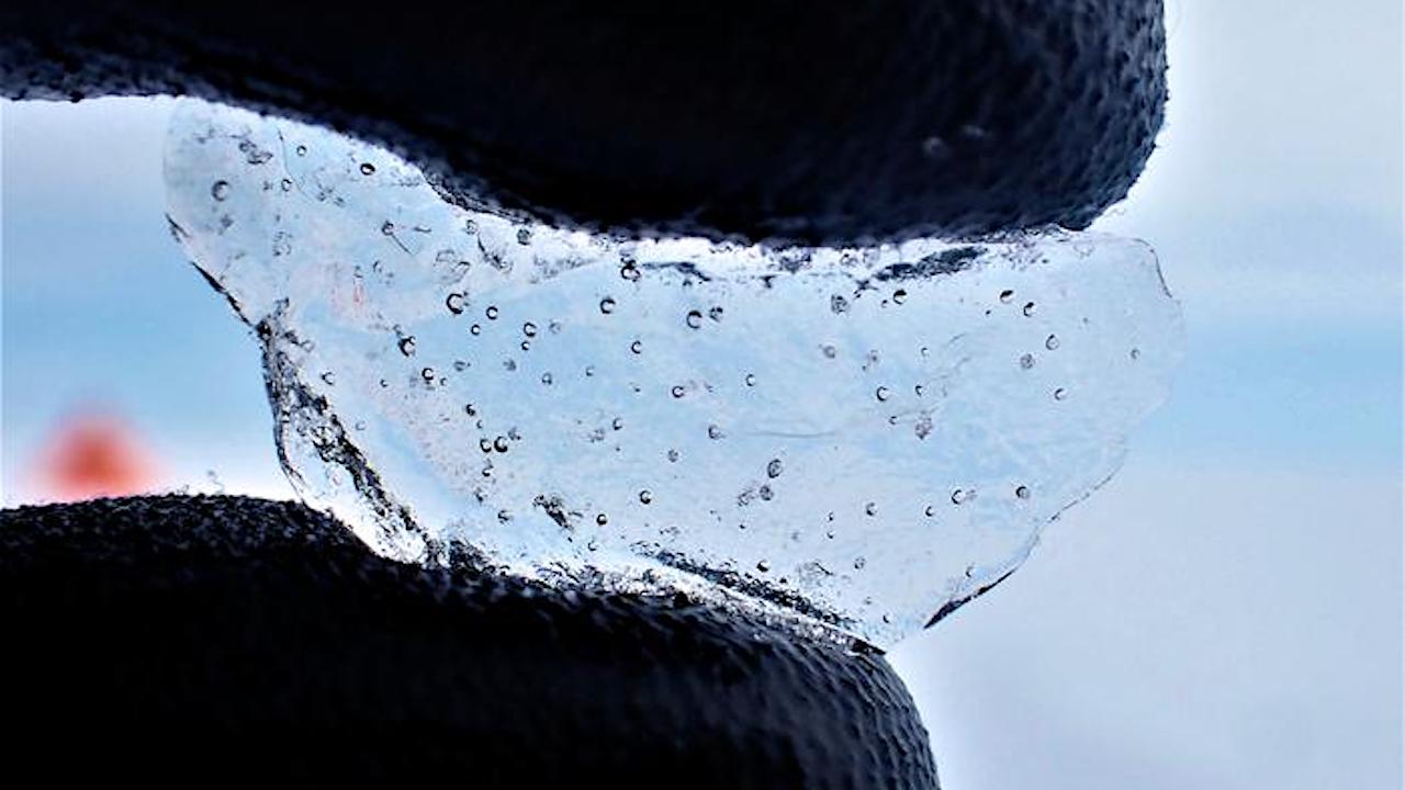
Ice cores are made up of layers of ice that formed as snow fell and was then buried and compacted into ice crystals over thousands of years. Trapped within each ice layer are bubbles of ancient air and contaminants that mixed with each year’s snowfall — providing clues as to the changing climate and ice extent.
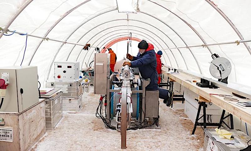
Inside the drilling tent at Skytrain Ice Rise, engineers and scientists separating the inner barrel of the drill from the outer barrel between drilling runs. CREDIT University of Cambridge / British Antarctic Survey
The researchers drilled a 651-metre-long ice core from Skytrain Ice Rise in 2019. This mound of ice sits at the edge of the ice sheet, near the point where grounded ice flows into the floating Ronne Ice Shelf.
After transporting the ice cores to Cambridge at -20C, the researchers analysed them to reconstruct the ice thickness. First, they measured stable water isotopes, which indicate the temperature at the time the snow fell. Temperature decreases at higher altitudes (think of cold mountain air), so they could equate warmer temperatures with lower-lying, thinner ice.
They also measured the pressure of air bubbles trapped in the ice. Like temperature, air pressure also varies systematically with elevation. Lower-lying, thinner ice contains higher-pressure air bubbles.
These measurements told them that ice thinned rapidly 8,000 years ago. “Once the ice thinned, it shrunk really fast,” said Wolff, “this was clearly a tipping point — a runaway process.”
They think this thinning was probably triggered by warm water getting underneath the edge of the West Antarctic Ice Sheet, which normally sits on bedrock. This likely untethered a section of the ice from bedrock, allowing it to float suddenly and forming what is now the Ronne Ice Shelf. This allowed neighbouring Skytrain Ice Rise, no longer restrained by grounded ice, to thin rapidly.
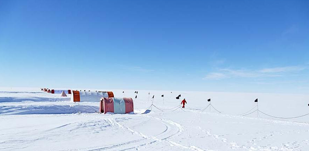
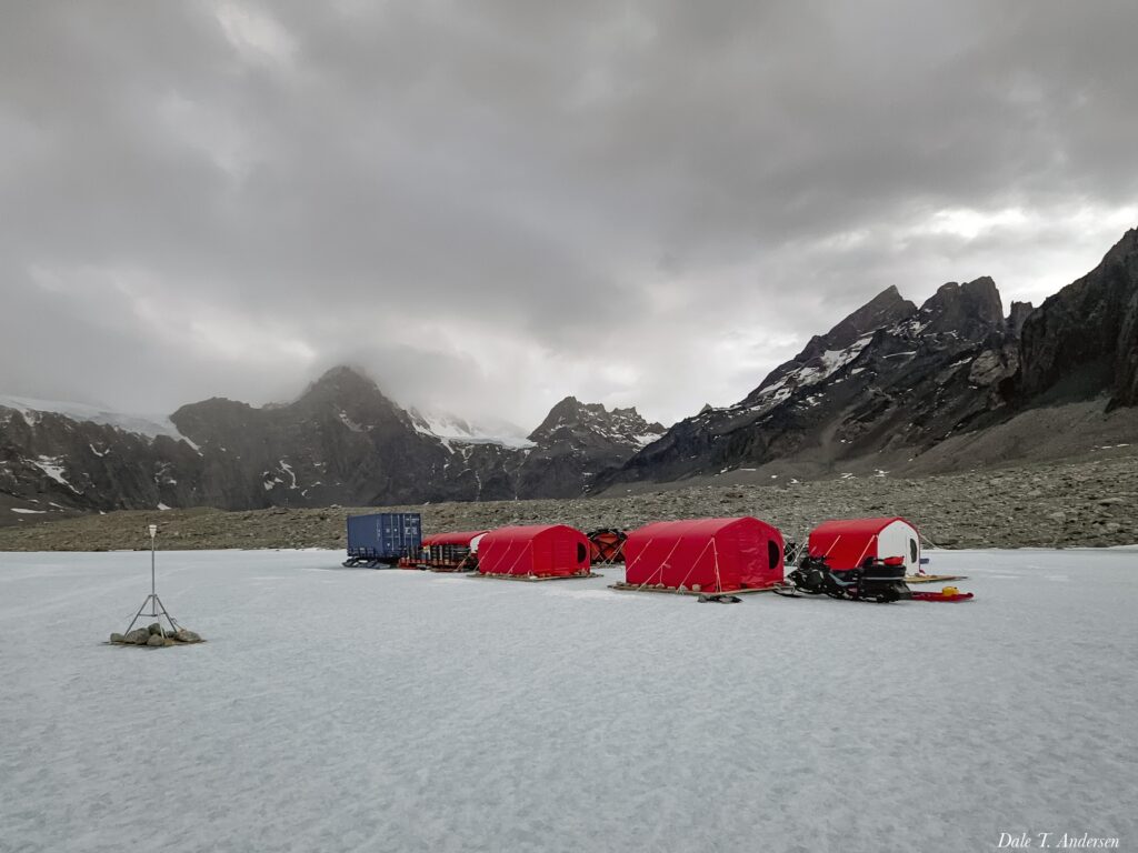
The drilling and living tents at Skytrain Ice Rise. CREDIT Eric Wolff
The researchers also found that the sodium content of the ice (originating from salt in sea spray) increased about 300 years after the ice thinned. This told them that, after the ice thinned, the ice shelf shrunk back so that the sea was hundreds of kilometres nearer to their site.
“We already knew from models that the ice thinned around this time, but the date of this was uncertain,” said Rowell. Ice sheet models placed the retreat anywhere between 12,000 and 5,000 years ago and couldn’t say how quickly it happened. “We now have a very precisely dated observation of that retreat that can be built into improved models,” said Rowell.
Although the West Antarctic Ice Sheet retreated quickly 8,000 years ago, it stabilised when it reached roughly its current extent. “It’s now crucial to find out whether extra warmth could destabilise the ice and cause it to start retreating again,” said Wolff.
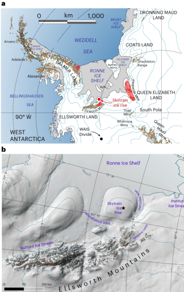
Map of SIR ice core drilling site (79° 44.46′ S, 78° 32.69′ W): a,b, Regional map48 based on USGS Antarctic Overview map (a) and local map of the SIR developed using the Quantarctica mapping environment detailed in Matsuoka et al. (2021)49 (b). a, The red shading shows the locations9,15,42,43,44 of the cosmogenic exposure ages referred to in the text that are closest to SIR. b, The elevation shading is from the CryoSat-2 and RAMP2 elevation models, and the contour lines are at 500-m intervals from CryoSat-2 (ref. 49). The star shows the location of the drill site (b).
Grieman et al. (2024) Abrupt Holocene ice loss due to thinning and ungrounding in the Weddell Sea Embayment. Nature Geoscience. DOI: 10.1038/s41561-024-01375-8 (open access)
Astrobiology


