Tricorder Tech: 3D Outcrop Scanning Using An Apple iPhone 14 Pro
Since the Apple iPhone Pro has an infrared LiDAR built in, geoscientists have presented a variety of possible applications. One of the most attractive applications is the scanning of outcrops.
LiDARs (Light Detection and Ranging) is a method to determine the distance between the device and an object with a laser. The combination of a LiDAR with an RGB camera and sophisticated software can be used to scan objects in three dimensions. The near-infrared (NIR) LiDAR sensor in an iPhone operates using a laser with a wavelength of around 940 nm.
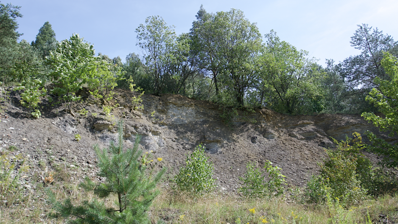
In the summer of 2023, we visited the clay pit of the Ziegelei Raum in the Elbsandsteingebirge in Saxony, not far from the city of Dresden, where shallow marine sediments from the Cretaceous period are exposed. The outcrop has long been one of the stops on an excursion for first-year geoscience students at U Potsdam.
There we made 3D scans with an iPhone 14 Pro. For this we used the excellent software Scaniverse available for iOS. When scanning, ensure that a maximum distance of ~5 meters is maintained between the iPhone and the outcrop. The scanning process is carried out by moving slowly along the outcrop, with the software displaying the segments that have already been scanned and combining them into an overall image.
The 3D scan can be saved and exported in various formats such as PLY or USDZ. The result can be viewed with all standard 3D viewers. For example, a USDZ file can be viewed with the Apple Preview programme and the scan can be rotated and zoomed with the mouse. A screen video can be viewed here, for example.
Astrobiology


