Creating A Digital Twin Of A Planet’s Weather: Earth
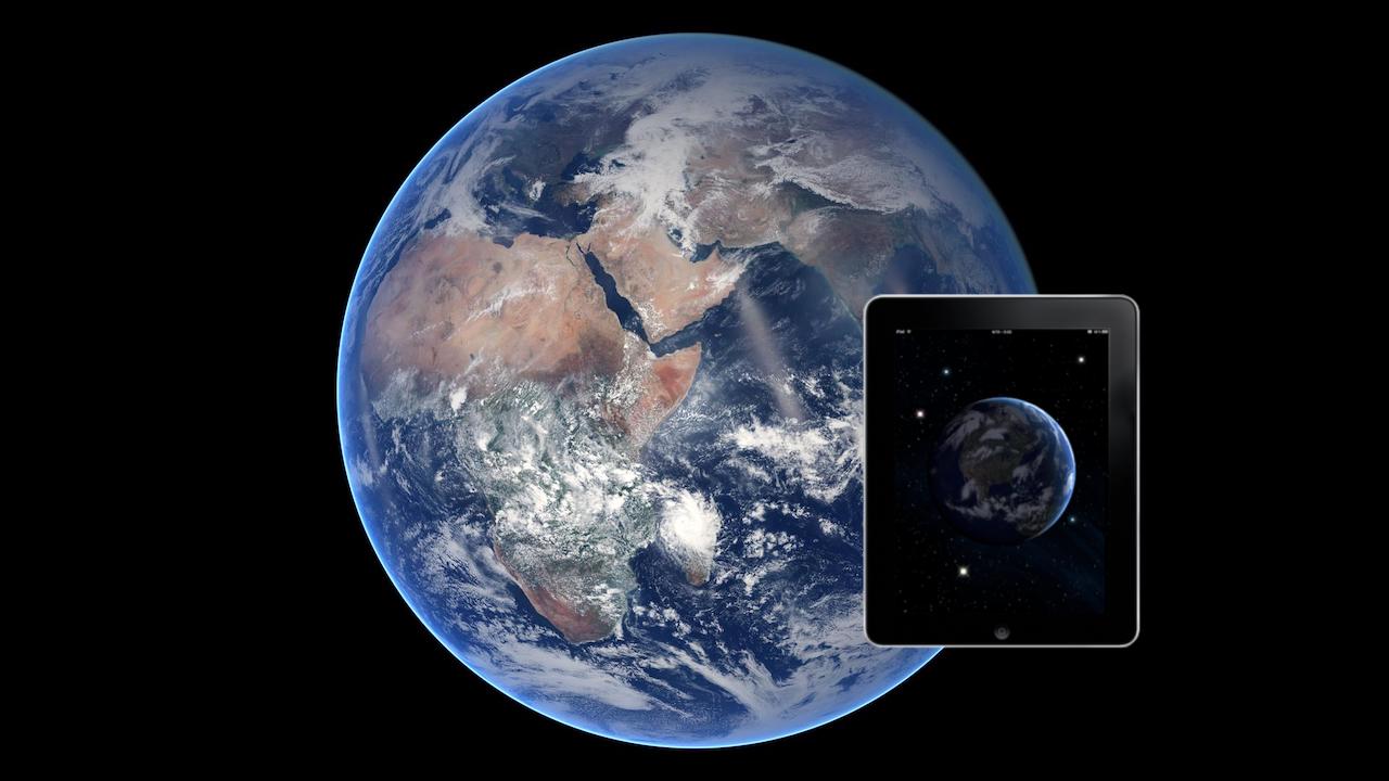
New ‘digital twin’ Earth technology could help predict water-based natural disasters before they strike
Astrobiology.com editor’s note: For the past several decades NASA has often talked about the value of studying Earth, Venus (a hot version of Earth) and Mars (a cold version of Earth) collectively so as to learn more about how our home world operates. One crucial aspect is a world’s climate (long term) and its weather (short term) and how this affects the surface of each world. After decades of satellite observations, ground truth data, and the availability of immensely powerful computers, we now have enough data to build a reasonably accurate “digital twin” of Earth’s climate/weather. One would hope that additional knowledge gained about Venus and Mars – as well as the other worlds in our solar system – will allow similar digital twins to be built. And the more of these digital twins we have – with ever-increasing fidelity and scope – the more synergies in planetary composition we should be able to derive. That’s where true “comparative planetology” starts to emerge. And of course, as we learn how the components of our own solar system work, there is direct applicability to worlds (exoplanets) orbiting other stars. As we expand outward it would be helpful to have such digital analogs of the worlds we visit – not only to guide our exploration – but also to to be updated as we learn more about these worlds – thus providing a knowledge base for every subsequent world we explore.
The water cycle looks simple in theory — but human impacts, climate change, and complicated geography mean that in practice, floods and droughts remain hard to predict. To model water on Earth, you need incredibly high-resolution data across an immense expanse, and you need modeling sophisticated enough to account for everything from snowcaps on mountains to soil moisture in valleys. Now, scientists funded by the European Space Agency have made a tremendous step forward by building the most detailed models created to date.
“Simulating the Earth at high resolution is very complex, and so basically the idea is to first focus on a specific target,” said Dr Luca Brocca of the National Research Council of Italy, lead author of the article published in Frontiers in Science. “That’s the idea behind what we have developed — digital twin case studies for the terrestrial water cycle in the Mediterranean Basin. Our goal is to create a system that allows non-experts, including decision-makers and citizens, to run interactive simulations.”
A test environment for the planet
In engineering, a digital twin is a virtual model of a physical object which can be tested to destruction without doing real damage. A digital twin of the Earth, constantly updated with new data, would allow us to simulate best and worst-case scenarios, assess risks, and track the development of dangerous conditions before they occur. Such information is vital for sustainable development and protecting vulnerable populations.
To build their digital twin models, Brocca and his colleagues harnessed extraordinary volumes of satellite data, combining new Earth observation data that measures soil moisture, precipitation, evaporation, river discharge, and snow depth. This newly available data, crucial to the development of the models, includes measurements taken much more frequently across space and time: as often as once a kilometer and once an hour. Like a screen with more pixels, this higher-resolution data creates a more detailed picture. The scientists used this data to develop their modeling, and then integrated the modeling into a cloud-based platform which can be used for simulations and visualizations. This is the ultimate goal: an interactive tool anyone can use to map risks like floods and landslides and manage water resources.
“This project is a perfect example of the synergy between cutting-edge satellite missions and the scientific community,” said Brocca. “Collaborations like this, coupled with investments in computational infrastructures, will be crucial for managing the effects of climate change and other human impacts.”
Helping people plan the future
The scientists began by modeling the Po River valley, then expanded the digital twin to other parts of the Mediterranean basin. Upcoming projects plan to expand to cover all of Europe, and future collaborations will allow the same principles to be applied around the world.
“The story started with an initiative from the European Space Agency,” said Brocca. “I said we should start from something we know very well. The Po River valley is very complex — we have the Alps, we have snow, which is difficult to simulate, especially in irregular and complex terrain like mountains. Then there is the valley with all the human activities – industry, irrigation. Then we have a river and extreme events — floods, drought. And then we moved to the Mediterranean, which is a good place to investigate extreme events both for too much and too little water.”
The platform’s primary use-case is to enhance flood and landslide prediction and optimize water resource management. To make this work better on a more local level, more granular data and more sophisticated modeling will be needed. For instance, to maximize the potential of a digital twin for agriculture, data resolution should be measured in tens of meters, not hundreds.
Known unknowns
Additional challenges persist. These include delays in the transfer of satellite data to the model, the need for more ground observations to validate satellite data, and the increasing complexity of the algorithms needed to handle the data. Furthermore, no model is perfect, and satellite data can contain errors: uncertainties must be properly characterized so that users have an accurate picture of the model’s reliability. According to Brocca, artificial intelligence and machine learning will have a pivotal role in overcoming these challenges, by enhancing data analysis, collection, and processing speed, and streamlining data quality assessment.
“The collaborative efforts of scientists, space agencies, and decision-makers promise a future where Digital Twin Earths for hydrology provide invaluable insights for sustainable water management and disaster resilience,” Brocca concluded.
The article is part of the Frontiers in Science multimedia article hub ‘The Digital Twin Earth Hydrology Platform’. The hub features an editorial, viewpoints, and policy outlook from other eminent experts: Prof Ana P. Barros (University of Illinois Urbana Champaign, USA), Prof Christina (Naomi) Tague (University of California, Santa Barbara, USA), Prof Zhongbo Bob Su (University of Twente, Netherlands), Dr Yijian Zeng (University of Twente, Netherlands), and Dr Giriraj Amarnath (International Water Management Institute, Sri Lanka).
A Digital Twin of the terrestrial water cycle: a glimpse into the future through high-resolution Earth observations, Computational simulation/modeling
Climate change, Astrobiology, exoplanet,