Topography of a Flood Carved Channel On Mars

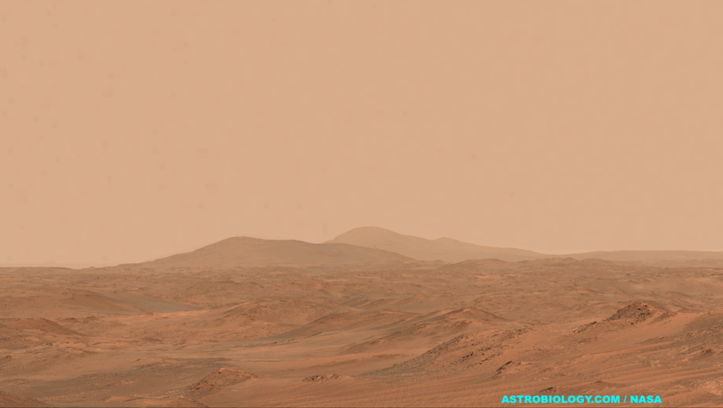
Flood Carved Channel Larger image NASA/JPL-Caltech/University of Arizona
In this location, there are a series of benches or terraces high up on the channel wall.
By looking at the topography it should be possible to tell if
- (1) these are produced by sediments being left at these elevations;
- (2) the erosive fluid dropped in stages and thus did more erosion at certain levels; or – (3) the wall of the channel was slumping inward as a series of landslides.
Image cutout is less than 5 km (3 mi) across and the spacecraft altitude was 273 km (170 mi). For full observation details including images with scale bars, visit the source link.
NASA/JPL-Caltech/University of Arizona
Astrobiology,


