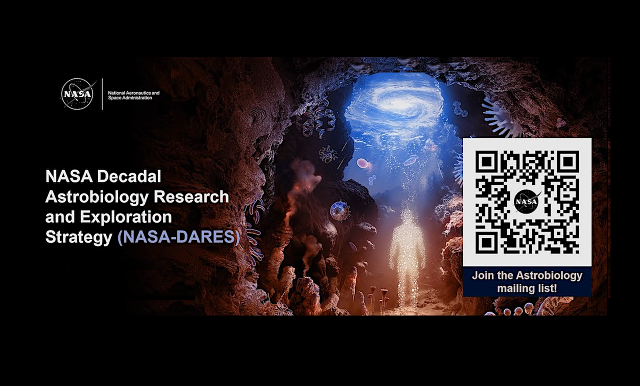
NASA-DARES Draft Strategy Open for Public Comment
Comment Deadline: 11:59 p.m. EDT on Thursday, July 2nd, 2026.
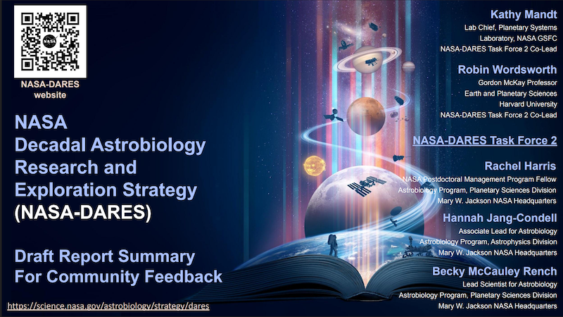
Dear Colleagues, The NASA Astrobiology Program and DARES Task Force 2 are pleased to announce the opening of the public comment period for the draft Decadal Astrobiology Research and Exploration Strategy (NASA-DARES).
The draft report, available in slide form, is available here: NASA-DARES Draft Report NB: Findings from Focus Area 9: Astrobiology in Society are forthcoming.
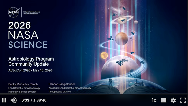
An abbreviated summary, presented at AbSciCon, is available for viewing here: NASA-DARES Presentation Video The NASA-DARES presentation begins at approximately 38:27 in the recording.
Feedback on the draft Strategy should be submitted according to the following guidelines:
- Email comments to HQ-RFIastrobio-at-mail.nasa.gov with the subject line “NASA-DARES Public Comment”.
- As relevant, please indicate the Focus Area(s) addressed by your comment at the beginning of your response.
- Comments may be submitted by an individual or on behalf of a community group, organization, or other collective body.
- Anonymous submissions will not be considered.
- Comments will only be accepted as attached PDF files or as in-line email text.
- Comments must be received no later than 11:59 p.m. EDT on July 2nd, 2026. Comments received after this deadline will not be considered.
As a reminder, NASA-DARES is a non-consensus document. NASA-DARES is not intended to rank priorities, prescribe funding decisions, direct mission selections, establish policy, or replace decadal surveys or other consensus reports. The report is intended to capture a broad range of topics relevant to NASA Astrobiology. Inclusion in NASA-DARES should not be interpreted as an indication of future funding, programmatic priority, mission implementation, or agency commitment.
For inquiries related to this public comment period, please send an email to HQ-RFIastrobio-at -mail.nasa.gov addressed to Drs. Rachel L. Harris, Hannah Jang-Condell, and Becky McCauley Rench. Kindly use the subject line “Question RE: NASA-DARES Public Comment Period” when submitting your questions.
Astrobiology,