Offworld Space Botany Hardware
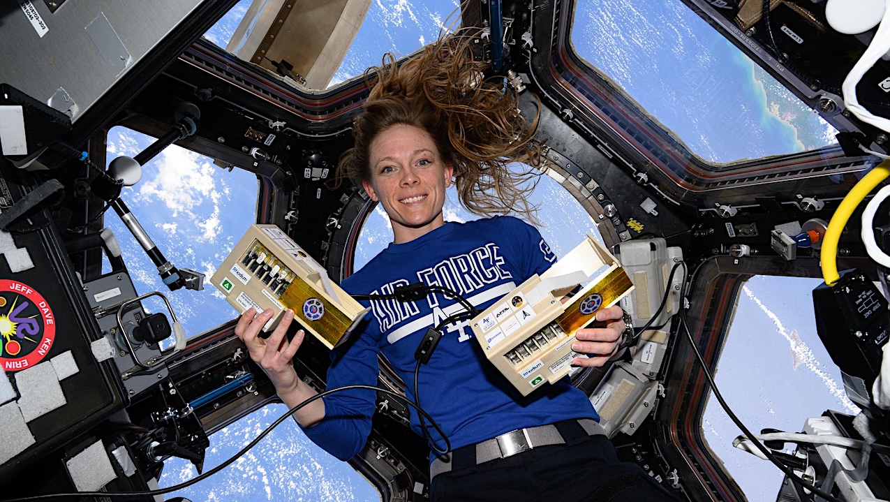
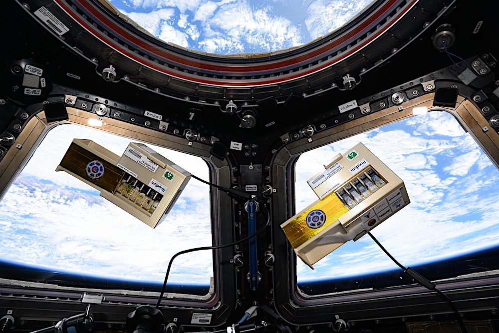
NASA astronaut Nichole Ayers is pictured inside the cupola with space botany hardware that supports the LEO Integrated Flori-culture Experiment (LIFE) 01 (Rhodium Plant LIFE) investigation.
Rhodium Plant LIFE studies how radiation and gravitational forces at different orbital altitudes affect plant growth. Results could provide a better understanding of plant growth in space and reveal how changes in gene expression influence root development, contributing to improved production of plants in space and on Earth.
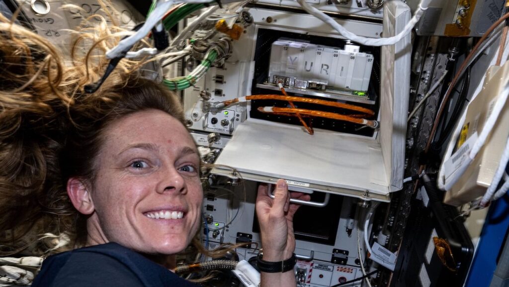
The LEO Integrated Flori-culture Experiment (LIFE) 01 (Rhodium Plant LIFE) hardware seen aboard the International Space Station. Rhodium Plant LIFE studies how radiation and gravitational forces at different orbital altitudes affect plant growth.
Results could provide a better understanding of plant growth in space and reveal how changes in gene expression influence root development, contributing to improved production of plants in space and on Earth.
Date Created:2025-05-21 — Larger image – NASA
Astrobiology, Space biology,