Dale Andersen’s 1996 Antarctic Field Research Photo Album Volume 2
Editor’s note: This is a revised version of the original website that was first posted – from Antarctica – in 1996.
The Astrobiology Web: Your Online Guide to the Living Universe TM An Antarctic Photo Album, Volume 2 by Dale Andersen About these images Text and Photographs ©copyright 1996 Dale T. Andersen. All Rights Reserved. Reproduced with permission. Last update: 20 December 1996
Terrestrial Lithophytic Communities – Battleship Promentory, Alatna Valley, McMurdo Dry Valleys Antarctica 76° 55’S, 160°55’E
Last update: 16 January 1997
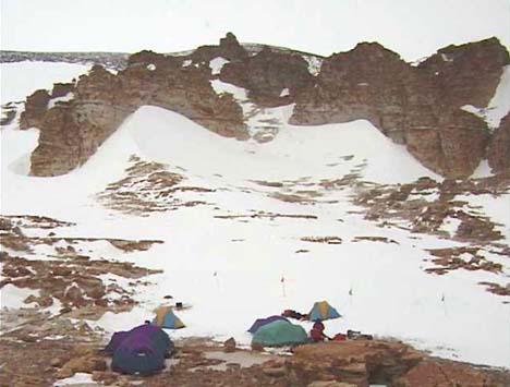
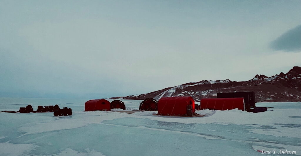
[239, 47K, jpeg] Battleship Promontory Field Camp
Remote field camp located at Battleship Promontory, Alatna Valley Battleship Promontory is one of several sites where Beacon Sandstone can be found.
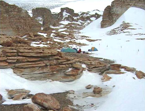
[280, 47K, jpeg] Battleship Promontory Field Camp
Another photo of our campsite during our studies of the microbial communities of Battleship Promontory.
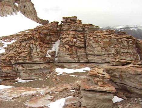
[240, 47K, jpeg] Battleship Promontory
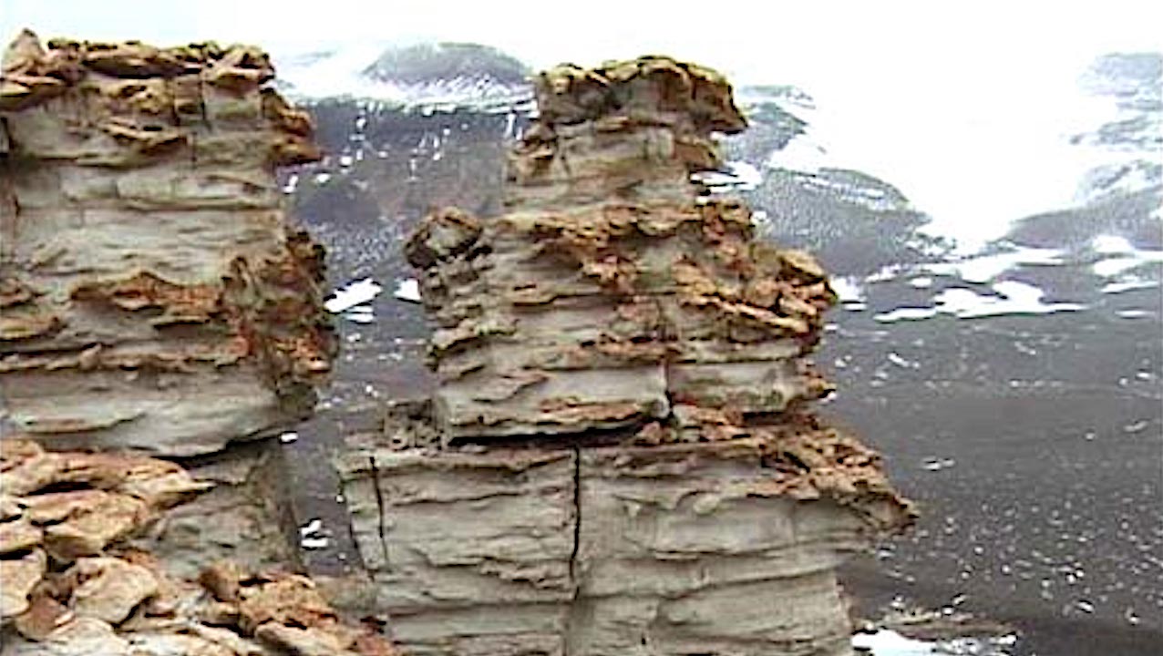
Battleship Promontory is known for its large sandstone formations and numerous cliffs and pillars. The elevation is about 1800 meters above mean sea level.
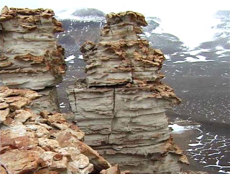
[245, 47K, jpeg] Battleship Promontory
Battleship Promontory is known for its large sandstone formations and numerous cliffs and pillars. The elevation is about 1800 meters above mean sea level.
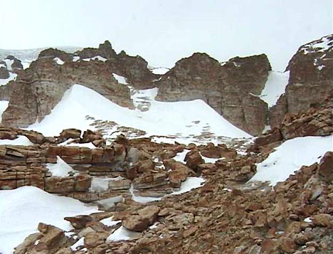
[261, 47K, jpeg] Battleship Promontory
Battleship Promontory is known for its large sandstone formations and numerous cliffs and pillars. The elevation is about 1800 meters above mean sea level.
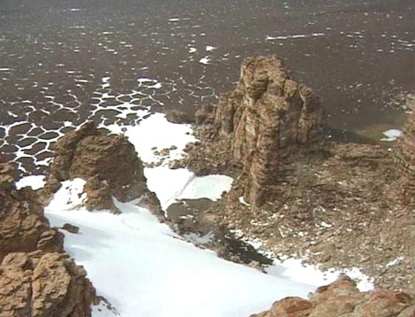
[274, 47K, jpeg] Battleship Promontory
Battleship Promontory is known for its large sandstone formations and numerous cliffs and pillars. The elevation is about 1800 meters above mean sea level.
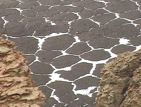
[276, 47K, jpeg] Polygonal Cracking, Alatna Valley
Polygonal cracking can be seen on the floor of Alatna Valley. These polygons are a result of freeze thaw processes in permafrost. The polygons in this photo have been highlighted by recent snowfall.
- Volume 1: Images of Lake Bonney, Lake Vida, and Lake Hoare plus some underwater shots of divers examining microbial mats at the bottom of these ice covered lakes.
- Volume 2: Remote field camp located at Battleship Promontory, Alatna Valley, Antarctica where researchers look for lithophytic communities.
- Volume 3: Images of Dr. Imre Friedmann making a photographic record of the cryptoendolithic community colonizing the Beacon Sandstone (orthoquartzite) at Battleship Promentory, Antarctica.
- Volume 4: Accomodations at Lake Hoare, Taylor Valley, Antarctica – Huts, helicopters, tents, and some of the people who work here.
- Volume 5: Research on ponds located on Bratina Island, skua nests, and a visit from the Prime Minister of New Zealand and Sir Edmund Hillary.
Astrobiology


