Water/Hycean Worlds & Oceanography

Ocean World Cartography: The International Bathymetric Chart of the Arctic Ocean Version 5.0

By Keith Cowing
Status Report
PNAS via PubMed
January 12, 2025
Filed under , , , , , ,
Ocean World Cartography: The International Bathymetric Chart of the Arctic Ocean Version 5.0
Overview maps illustrating Arctic Ocean bathymetry and source data for the compilation of IBCAO 5.0. (a) Bathymetry based on IBCAO 5.0. Two versions are available: one with under-ice topography of Greenland (shown), and another with the ice-sheet surface topography, both based on BedMachine Version 5 DMT180. The bold black line shows the Seabed 2030 Arctic region, for which a geographic DTM is produced and contributed to the global GEBCO DTM. The square region shown in brighter colours represents the more limited extent of the IBCAO DTM. White stars show the locations of detailed comparison between IBCAO 5.0 and 4.0 in Fig. 9. (b) Source data displayed based on the mapping method (MB = Multibeam; SB = Singlebeam). (c) Close-up of the East Siberian Sea depicting soundings from charts (in black) and digitised contours (in white). The nodes of the digitised contours, utilised in the gridding process, may be challenging to discern due to their sparse density. To enhance visibility, several contours are presented as polygons in white. (d) Close-up of North Greenland showing a part of the least mapped area of the Arctic Ocean. (e) Source data displayed as individual data sets using different colours. Note that the high resolution of the IBCAO 5.0 gridded products precludes displaying fine details in overview figures. For detailed information, readers are referred to the downloadable grids. — PNAS via PubMed

Knowledge about seafloor depth, or bathymetry, is crucial for various marine activities, including scientific research, offshore industry, safety of navigation, and ocean exploration.

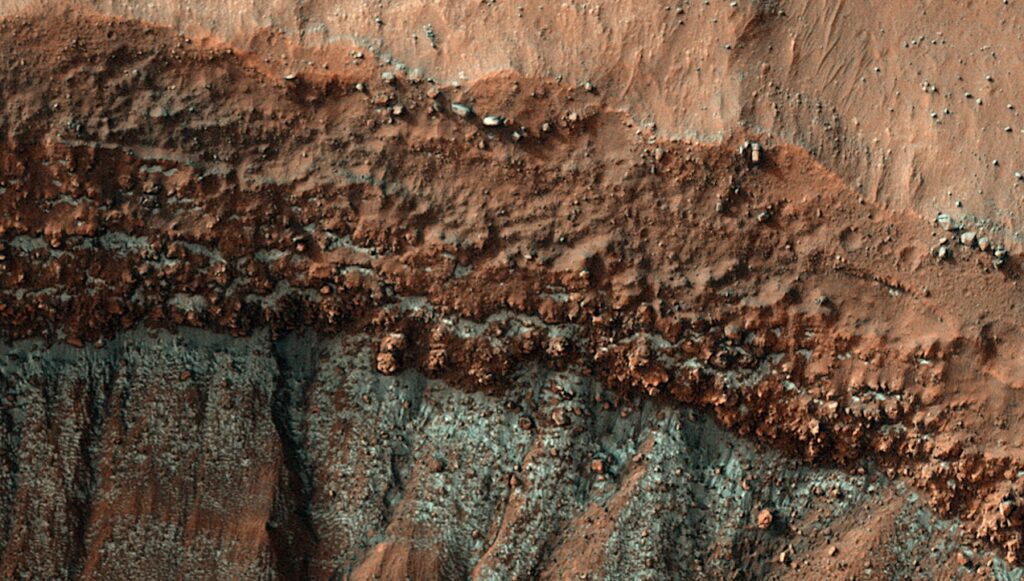
Mapping the central Arctic Ocean is challenging due to the presence of perennial sea ice, which limits data collection to icebreakers, submarines, and drifting ice stations.

The International Bathymetric Chart of the Arctic Ocean (IBCAO) was initiated in 1997 with the goal of updating the Arctic Ocean bathymetric portrayal. The project team has since released four versions, each improving resolution and accuracy.

Here, we present IBCAO Version 5.0, which offers a resolution four times as high as Version 4.0, with 100 × 100 m grid cells compared to 200 × 200 m. Over 25% of the Arctic Ocean is now mapped with individual depth soundings, based on a criterion that considers water depth.

Version 5.0 also represents significant advancements in data compilation and computing techniques. Despite these improvements, challenges such as sea-ice cover and political dynamics still hinder comprehensive mapping.

Flow chart of the major steps involved in compiling the IBCAO 5.0 grid. The orange headings correspond to sections within Methods describing the main compilation procedures. AWS: Amazon Web Services; TID: Type Identification; SID: Source Identification.

The International Bathymetric Chart of the Arctic Ocean Version 5.0, PNAS via PubMed (open access)

Astrobiology, Oceanography,

Explorers Club Fellow, ex-NASA Space Station Payload manager/space biologist, Away Teams, Journalist, Lapsed climber, Synaesthete, Na’Vi-Jedi-Freman-Buddhist-mix, ASL, Devon Island and Everest Base Camp veteran, (he/him) 🖖🏻