Increasing the Usability and Accessibility of Voyager 2 Images of Triton
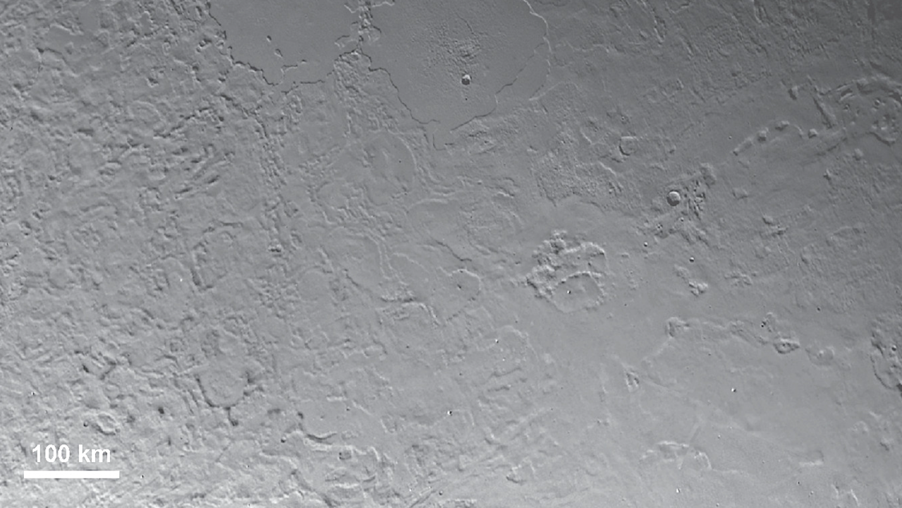
Much of what we know about Neptune’s moon Triton was inferred from the analysis of images returned by the Voyager 2 mission, the only spacecraft to have visited that putative ocean world.
Unfortunately, the highest-resolution images (scales < 2 km pixel‑1) are difficult to use because they are only available in nonstandard formats, and the locations of the images on Triton’s surface are incorrect by up to 200 km. Although image mosaics of Triton are publicly available, these do not include the highest-resolution data.
Here we describe our effort to improve the usability and accessibility of Voyager 2 images of Triton. We used the USGS’s ISIS software to process 41 Triton images, including geometric calibration, radiometric calibration, and reseau removal. We improved the image locations using a photogrammetric control network with 958 points and 3910 image measurements.
Least-squares bundle adjustment of the network yielded rms uncertainty of 0.50, 0.52, and 0.51 pixels in latitude, longitude, and radius, respectively, and maximum residuals of ‑4.21 and +3.20 pixels, respectively. Image-to-image alignment is therefore vastly improved.
We have released these processed images as cloud-optimized GeoTIFFs in orthographic projection at the original pixel scale of each image. Associated mosaics have also been created and released to provide geologic context for the individual images.
These products provide the science community with analysis-ready data that enable new investigations of Triton, increase accessibility to this unique data set, and continue to enhance the scientific return from the Voyager 2 mission.
Increasing the Usability and Accessibility of Voyager 2 Images of Triton, The Planetary Science Journal (open access)
Astrobiology


