Dale Andersen’s Astrobiology Antarctic Status Report: 18 November 2022: Sediment Cores And Ground Penetrating Radar
Keith
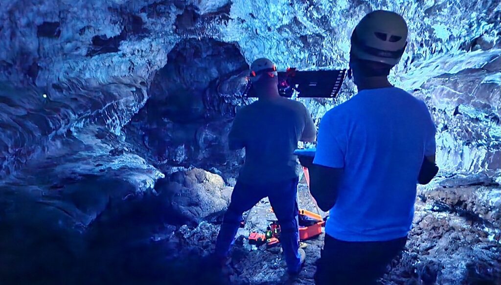
We had a very productive day yesterday splitting into a few groups with differing tasks. Denis and Andre focussed on obtaining additional sediment cores spaced across the lake North to South. The cores will be used for a variety of geochemical analyses along with physical measurements such as grain size.
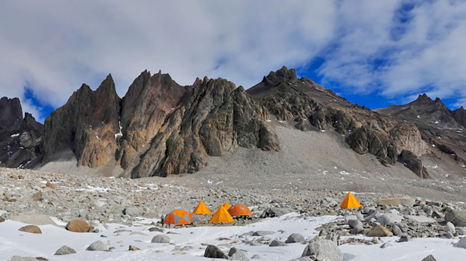
Adam and Miles worked with the ground penetraing radar to continue characterizing the ice-cover; and I spent time using my Trimble GNNS equipment to obtain high resolution (sub cm) spatial measurements (latitude, longitude, elevation) of the ice-cover, and to record the camp foot-print for the record.
The Trimble equipment I am using includes Trimble’s R9s Base Receiver, a Zephyr 3 GNSS antenna, and R12i Receiver for the “rover”. Once it is set up we can achieve sub-cm resolution spatial information for a given point, – horizontal and vertical – at a site we choose to measure and Trimble has been very supportive of our project providing both instrumentation and technical support.
Yesterday I simply wanted to get an accurate elevation measurement (orthometric height and ellipsoind height ) of Untersee’s lake ice-cover (and water level in holes we have opened) over a few hundred meters. These data will provide a very accurate mark of present conditions that can be compared with future datasets which could see increases or decreases in lake levels. I will do the same later today in a different area of the lake to get a good average. The ice is not smooth, but has significant variations plus or minus 50-100 cm across the lake. I will also measure in other key points such as sampling sites, a set of the “floatiing boulders” on the lake, paleo-shore lines etc.
Today will be a repeat of similar tasks and the weather is pretty reasonable which is helpuful.
Cheers,
Dale


