Astrobiologist Dale Andersen Antarctic Status Report 4 February 2018: Bad Weather
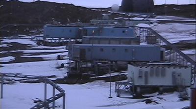
Keith’s note: I just sent this weather report to Dale Andersen. From these 3 webcam shots it looks like things are calmer now but it will get bad again soon as several gales continue to affect the region.
The reports are issued by Neumayer Station but they are posted as PDF files. Dale’s Internet access is limited to an Iridium handset so I have to go and grab the portion of the PDF file that pertains to his region, condense it, and send it by email to his Iridium phone. So, despite all the technology, there are still some kinks in the way that people get their information in Antarctica via people on the other side of the world.
“Syowa TODAY, overcast sky, at times snow or sleet, winds around 30kt from NE/blowing snow, temporarily decreasing to 15kt. TONIGHT, predominantly dry, wind increases again to 50-60kt from NE/heavy blowing and white out. MONDAY, broken clouds at various levels, at times some snow showers, severe storm with 50-60kt with gusts of 70kt from NE, in the afternoon slowly weaken a little/heavy blowing snow and white out. TUESDAY, clouds become scattered with sunny spells, prevailing dry, decreasing winds to 10-20kt, at times even lower from NE. WEDNESDAY, cloudy, at times fair, isolated showers, increasing winds again to 40kt from NE/blowing snow again!”
“Gale 965 hPa northeast of Syowa near 63S 45E with secondary low 965 hPa close north of Crown Bay, weakening, moving towards W, MONDAY noon united as trough 970 hPa north of Novo near 68S 10E, leading to bad weather in eastern and central parts of DML. On WEDNESDAY new GALE 955 hPa close north of Syowa, after short improvement on TUESDAY again bad weather conditions in eastern DML.”
This image shows the weather system that is affected the region where Dale is currently located (yellow dot). You can watch the current weather in a looped image here.


